Rivers, Dams and Hydrology
12d Model handles very large datasets and interfaces with a wide range of analysis packages, making it perfect for flood studies and the management of rivers and dams.
12d has partnered with industry leading analysis software, allowing users to apply 2D drainage analysis from within 12d Model.
Multimedia
Drainage 2D flyer
Three Waters Youtube Playlist
Drainage 2D
12d Model quickly creates the TUFLOW ground surface (xf4/xf8 grids) for Drainage 2D analysis.
Time graphs of the results (elevation, depth velocity, or hazard results) are available on demand anywhere on the results grid, after the Drainage 2D run is complete.
Velocity vectors, depth contours and hazard areas can be presented in plan views and water levels viewed in sections.
12d Model Visualisation creates animated 3D presentations of the Drainage 2D results.
The TUFLOW TCF file editor puts the TUFLOW commands and parameters at your fingertips and you can edit files, update GIS files and xf4/xf6 grid, launch TUFLOW, read results and view check files all from one panel.
A major help for all Drainage 2D users, novice and experts, is the RoadFlow option which provides a quick start, going from a 12d tin to running Drainage 2D in minutes and the Drainage 2D fully integrates with 12d’s dynamic 1D drainage module.
Hydrology/Hydraulic Design or Interface
The Drainage suite interfaces with MicroDrainage, Info Works, Drains, ILSAX, PC Drain, RAT 2000, Spreadsheets, XP-SWMM, and XP-STORM.
This combines the “real world” power of 12dʼs terrain modelling and pipe grading capabilities with other specialised hydraulic design packages.
Analysis results can be brought back into 12d Model with drainage networks updated automatically.
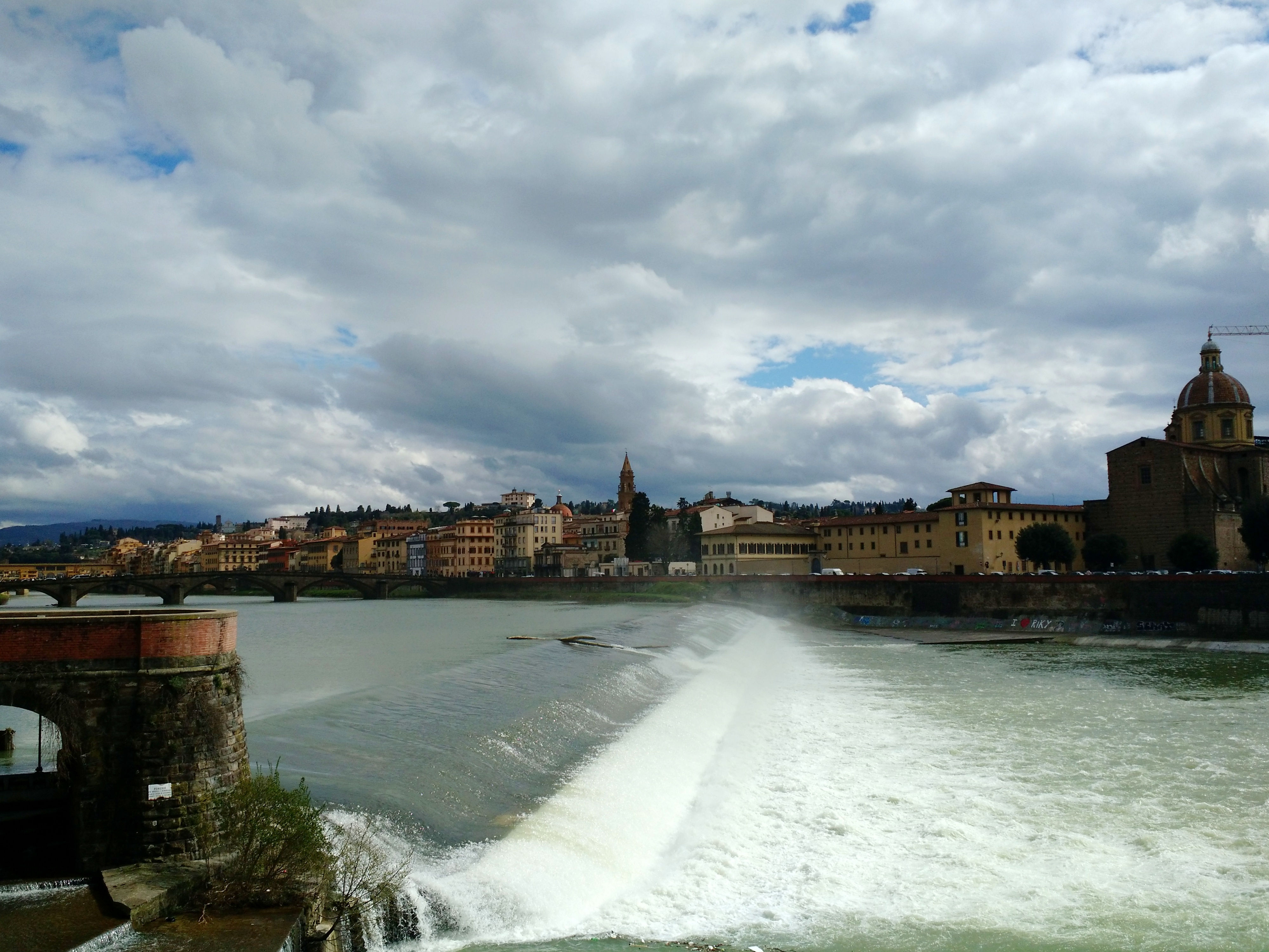
Flood Analysis
Flooded widths and roadway depths are shown graphically in 12d Model. 12d Model calculates the width of flow using normal depth calculations.
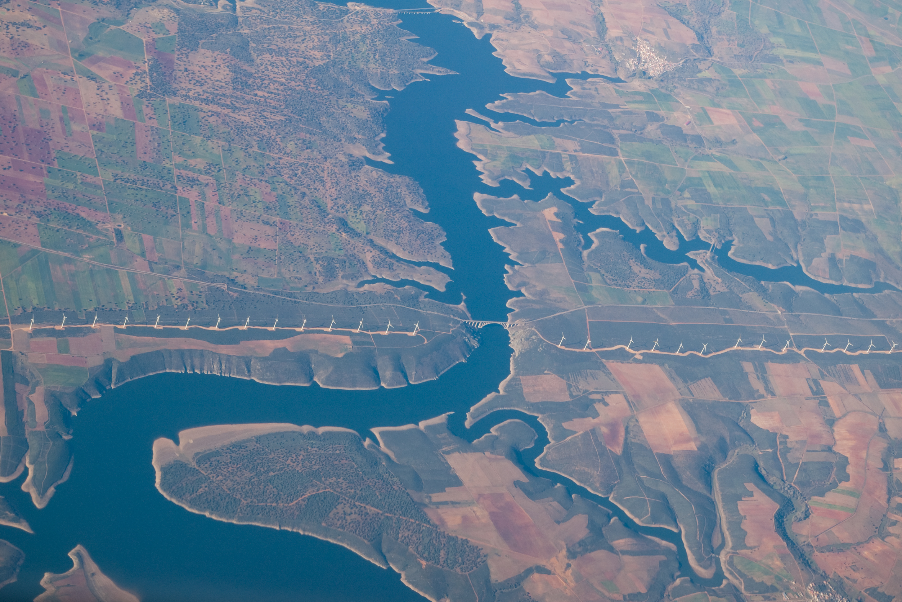
Rivers
12d interfaces directly with TUFLOW to allow large scale river and flood analysis.
Dam Design and Infrastructure
Dam structures and associated civil infrastructure can be modelled in 12d.
Visualisation and Presentation
The 3D design is automatically/continuously created and can be viewed at any stage of the design process to provide instant real life representation of the project. This is enhanced by:
- the automatic application of textures to the design surface triangulation
- the draping of aerial photography on existing surfaces
- addition of features such as guardrails, line marking, street lighting, barriers, vehicles, trees and houses
Project Documentation
Automate the production of reports and drawings (plans, cross-sections and long-sections) and reduce drafting times.
Training
For information about upcoming Three Waters training opportunities in your region, see:
NSW/ACT/SA
NZ - Email
All Other Regions
12d User Forum
Drainage and Rivers section
Drainage 2D section
Drainage and Rivers FAQ
Three Waters In Action
Innovation Awards 2016
Overall Winner (SMEC)
Drainage, Sewer and Utilities Winner (Mal Peaker)
Highly Commended entry (Wood and Grieve)
Case Studies
Ormeau Ridge
West Barwon Dam
Jebel Hafeet Glacier Development
Dirt Diggers
35 – Dynamic Water Supply Coming
34 – Dam Break
32 – Drainage 2D
Documentation
12d Reference Manual
Rivers - Chapter 21 (begins on p. 5619)